Governance Programming Overseas Establishing YouthMappers Chapter in Sudan

In today’s digital era, many use web mapping services such as Google Maps as a tool to explore and navigate their world wherever they are in the world. Formally, a map is a symbolic representation of space, which is all the facts and features about a particular spot. Maps can be used to compare space and places on earth and beyond, and to shape our sense of reality.
Web mapping is the process of designing, implementing, generating and delivering maps on the World Wide Web. Web mapping provided millions of geographical data. One of the most famous web maps is OpenStreetMap, a collaborative project to create a free editable map of the world, also, there are many of datasets owned by companies such HERE, Google, Tencent, TomTom.
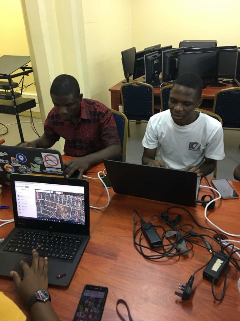
The youth play a big role in web mapping. YouthMappers are a global community of students and researchers who work together to organise, collaborate, and implement mapping activities that respond to actual development needs around the globe – creating and using spatial data and information that is made publicly available through open platforms, such as OpenStreetMap.
Striving to established a YouthMappers Chapter in Sudan is Governance Programming Overseas (GPO), a non-government organisation based in Sudan, aimming to raise awareness about governance among young generations in all aspects of life to protect democracy, rule of law, peace, human rights, justice, climate and transition towards a civic state in Sudan. The think-thank recently registered in Sudan and includes over 50 expertise in different specialities and skills as well as youth groups with focus on women and children.
500 Words Magazine interviews the team of Climate Change and Environmental Health at GPO about their latest project – YouthMappers Chapter in Sudan.

Tell us about the idea of the first YouthMappers Chapter in Sudan?
Many role models in Africa showed that street mapping provides data and information for the citizen, humanitarian organisations and even policymakers. This dataset could be used for improving the environmental and health situation. Unfortunately, Sudan’s web map lacks enough information so GPO is focused on improving community mobilisation and founding the first YouthMappers Chapter in Sudan. We need to raise the awareness of the Sudanese people about imperative topics such as urban planning and generating interest to find out what is going around us and improving it. GPO contacted Sudan Youth Organization on Climate Change (SYOCC) to seek partnership on this project.
How can Sudanese youth contribute to improving the Sudan map?
YouthMapper will be open for all student university. Firstly, any university should have a YouthMapper chapter by submitting an online application, then learn how to input data and start to add new information, while data verification will be held by OpenStreetMap.
What are the main challenges facing your project?
There are two or three challenges. Firstly, we need to clear up Digital Inclusion and Digital Access concept. When talking about using this tool, it means we restricted to particular categories of people; who have a computer or smartphone so that is a challenge for us because, on the other hand, we believe that digital access is a right for all. Secondly, the Internet access issue due to sanctions but now we are going well in regards to this matter. Finally, this project is a massive task, and as GPO, we think our role is to propose the idea and establish the YouthMappers and empower the youth to lead the project further by themselves.
What type of data do you want to focus on?
We need to work in general geospatial data, not only in health or environment. For example, it’s pretty clear that Sudan is facing flood disaster annually so collecting data about the floods and what poses the most risk would be a good place to start.
What is GPO’s message?
Our final message to Sudan’s youth is that we have the opportunity to participate in rebuilding Sudan, and helping it prosper. Youth Mappers Chapter will contribute effectively to be actors in our local community, and identify our problems so the government can clearly hear our voices. Sudan is having trouble regarding lack of data and information impeding researchers; therefore, the Sudan map will provide a lot of data for researchers, NGOs and government sectors. In addition, we believe the youth can have the passion and ability to think outside the box and find out creative solutions, so they will not only collect data but also analyse the data and find quick solutions.
For more information on GPO, visit governance-programming.org or find them on Twitter @GovernancePO.

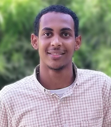
Moayad Mutwalli is a civil engineer graduate of the University of Khartoum, interested in political science, economics and technologies. He is an environmental activist, and above all, a truth seeker.


